Get the right angle, from the right people.

Experienced & Licensed Land Surveyors in Albany, Esperance & Surrounds
Professional Land Surveyors | High-Quality Service
At 35 Degrees South, we pride ourselves on the wide range of quality land surveying services available. More information about these services is available here by selecting one of the options in the list below. Should you require any additional information, please do not hesitate to contact us.
Our Services
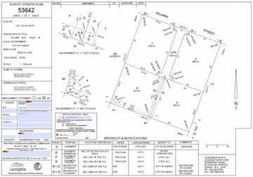
Strata Surveys
Strata subdivisions are a development option for single and multiple building developments on a single parcel of land and may be used for certain rural property developments.
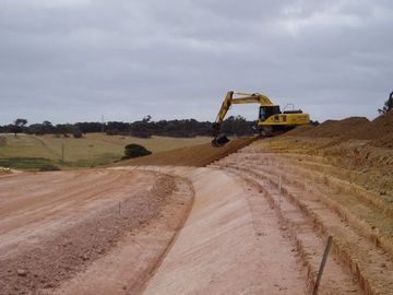
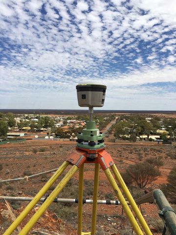
Building, Road & Construction Setout
The team at 35 Degrees South have experience in engineering setout for major road construction and other infrastructure such as stormwater drainage and sewerage. We are also able to carry out "as-constructed" surveys of the final construction.
These days it is not uncommon for buildings to have unconventional shapes rather than the traditional rectangle. Such buildings can be very awkward for builders to setout. Or perhaps the building is located on terrain, which makes it difficult to setout using the builder’s normal tools. We can help assist with buildings of all shapes and sizes setout accurately on any terrain.
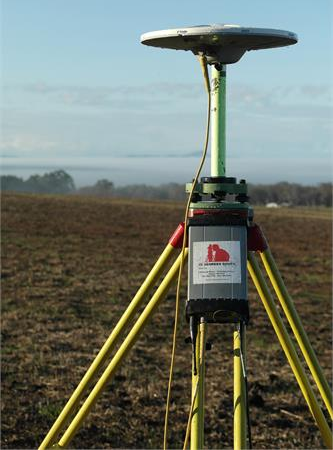
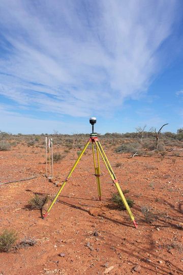
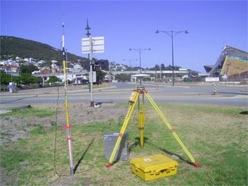
Site Feature Surveys
Site surveys are now required by almost all local authorities to locate ground level contours and existing features prior to the granting of building licenses for new home construction. We carry out fast and cost-effective surveys for owners and builders and will promptly deliver the results in the clients choice of formats, such as plans or digital data formatted for a wide variety of CAD software. We also make use of email for rapid delivery of digital data to our clients.
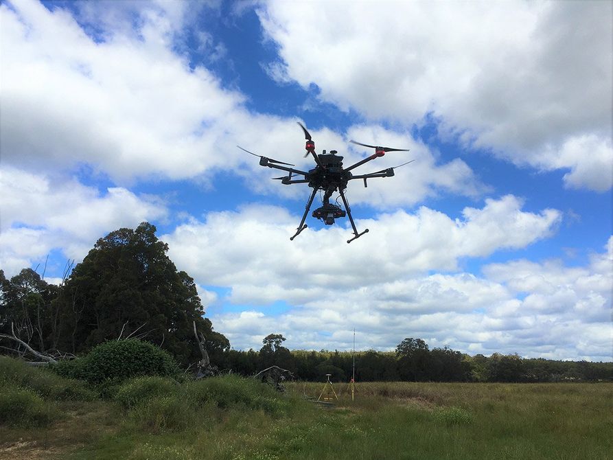
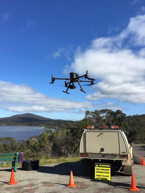
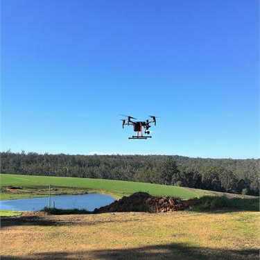
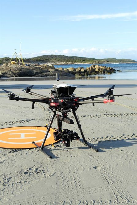
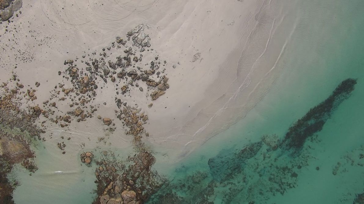
Aerial Surveys
UAV’s (Drone) Surveys is the main feature of our Advanced Surveying methods of which we have been using since December 2016. The drone has become an integral part of our business mainly because of the major benefits they have in terms of efficiency, accuracy but above all Safety!
From aerial mapping and surveying of large farms and sub-divisions to stockpile surveying for volume quantities. We also use our drones for environmental and coastal monitoring surveys, leaving minimal footprints.
35 Degrees have a small fleet of multi-rotor UAV’s and high quality cameras for Georeferenced Orthophotography.
Our specialised aerial surveys include:
Topography
Thermal Imagery
Videography
Volume Surveys
Mining Tenements
35 Degrees South are approved and Licensed to carry out authorized surveys of Mining Tenements for the Department of Mines Regulation and Safety (DMIRS). Distance is no barrier for us, we have travelled as far as Leonora in the Northern Goldfields to Kununurra in the Pilbarra.
Audit Surveying & Control Establishment
35 Degrees South is experienced in the provision of survey auditing on major road construction projects. We can also undertake to install road alignment control to meet the requirements of Main Roads Western Australia or co-ordinated survey control for other purposes.
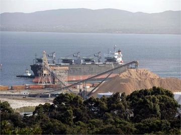
Volume & Stockpile Survey
No longer do we need to climb by foot over steep and dangerous stockpiles. Our Advanced Surveying methods now utilizes UAV’s (Drones) for this type of surveys.
It is now a much faster, economical and safer way to conduct any kind of stockpile survey from Gravel Pits to Woodchips.
Conventional Survey methods are still sometimes applied when conducting a stockpile survey in an enclosed area.
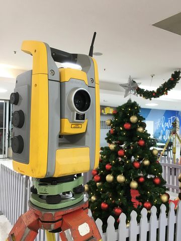
Lettable Area Surveys
Lettable Area Surveys (or BOMA Surveys) take their name from the Building Owners and Manager Association, which derived the "standard" set of rules for measuring building areas for determination of areas for letting or rental purposes. The current BOMA rules are adopted for measurement of all types of commercial, industrial and retail properties and the results are certified by a Licensed Surveyor.
Hydrographic & Dam Surveys
Utilising our advanced technology we specialise in small bathymetry and marine surveys for underwater mapping and volume calculation.
We survey dams, rivers and waterways and also beach monitoring surveys.